

Technical Support:
158-7527-1139

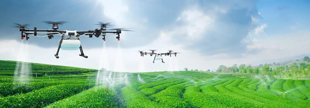
With the advancement of technology, agricultural drones have been increasingly widely used in agricultural production. Agricultural drones can be equipped with various sensors to perform precise monitoring and management of crops, improving the efficiency and benefits of agricultural production.
Commonly used sensors that agricultural drones can carry mainly include the following types:
Image Sensors
Image sensors are the most commonly used sensors for agricultural drones, capable of obtaining image information on crop growth. The main functions of this type of sensor include:
● Crop Growth Monitoring: Image sensors can identify information such as leaf color, leaf area, and leaf aspect ratio to determine crop growth status.
● Pest and Disease Monitoring: Image sensors can identify pests and diseases on crops, allowing for timely control measures.
● Fertilization Suggestions: Image sensors can analyze crop growth and provide fertilization recommendations based on the results.

Infrared Sensors
Infrared sensors can penetrate plant leaves to obtain internal temperature information of the crop. The main functions of this type of sensor include:
● Water Stress Monitoring: Infrared sensors can detect temperature changes in crop leaves to determine if the crop is water-deficient.
● Fertilizer Utilization Monitoring: Infrared sensors can detect the content of nutrients such as nitrogen, phosphorus, and potassium in leaves to judge the crop's fertilizer utilization rate.
Spectral Sensors
Spectral sensors can obtain spectral information from crop leaves. The main functions of this type of sensor include:
● Crop Species Identification: Spectral sensors can identify the type of crop based on the spectral characteristics of the leaves.
● Crop Quality Assessment: Spectral sensors can evaluate crop quality based on leaf spectral characteristics.
LiDAR (Laser Radar)
LiDAR can obtain 3D information of the crop canopy. The main functions of this type of sensor include:
● 3D Crop Modeling: LiDAR can capture 3D models of the crop canopy, providing data support for growth analysis and mechanized operations.
● Canopy Density Measurement: LiDAR can measure the density of the crop canopy, providing a reference for operations such as pesticide spraying.
Drone Positioning Sensors
Drone positioning sensors can obtain the location information of the drone. They are essential for the safe flight and precision operation of agricultural drones.
As agricultural drone technology continues to evolve, the application of sensors will become even more extensive, bringing smarter and more efficient solutions to agricultural production. Since different types of sensors provide different functionalities, producers can choose the appropriate sensors based on their actual needs.